

Google ARCore
VerifiedCross platform AR with Street View as a global positioning anchor
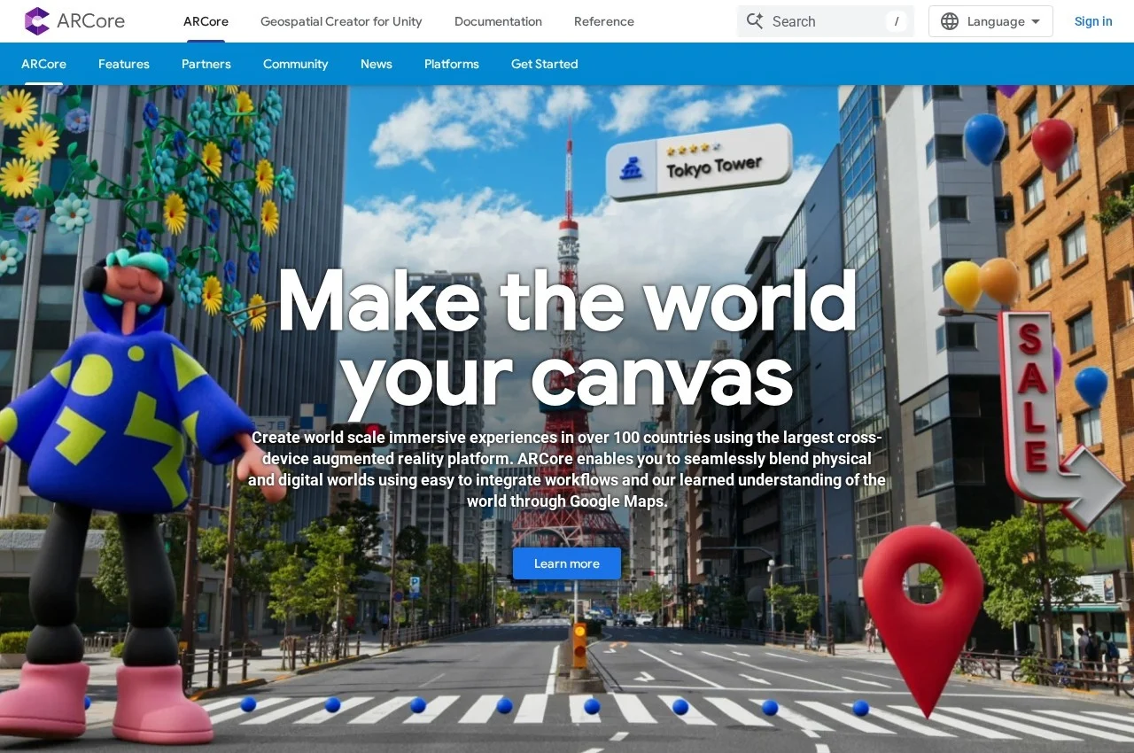 See all screenshots
 - Deployment On Premise, Cloud Based
- Starting price Not published
- Free trial Available
- Best for Freelancers, Small Business, Medium Business
What is Google ARCore?
ARCore is Google's augmented reality SDK, offering cross platform APIs for Android, iOS, Unity and the web, with motion tracking, anchors, environmental understanding, depth understanding and light estimation as fundamentals, plus a Geospatial API, Scene Semantics and a recording and playback API.
The Geospatial API is what separates ARCore from every other framework in this category and it is a genuine structural advantage. Content can be attached to any area mapped by Google Street View, which means a developer places an object at a real world location rather than relative to the user's device, and it stays there for everyone who visits. Google states this works across over 100 countries.
That capability exists because Google spent fifteen years driving cameras down public roads, and it is not something a competitor can decide to build. Nobody else has a global visual map of the built environment precise enough to localise a phone against, which is why persistent city scale AR is realistic on ARCore in a way it is not elsewhere.
Scene Semantics uses machine learning to recognise common objects in a scene, which raises the ceiling from knowing that a flat surface exists to knowing that it is a road, a building or a sky. The recording and playback API is a quieter but practically important feature, since testing AR normally means physically walking around, and being able to replay a captured session turns that into a repeatable test.
Key Features of Google ARCore
- Motion tracking relative to the world
- Anchors for persistent object position
- Environmental understanding of surfaces
- Depth understanding between surfaces
- Light estimation and colour correction
- Geospatial API anchored to Street View
- Scene Semantics object recognition
- Recording and playback for repeatable testing
- Android, iOS, Unity and web APIs
- Geospatial Creator for Unity
- Coverage in over 100 countries
- Documentation and reference
Google ARCore Pricing
SDK
Not published
ARCore is distributed as a Google SDK. No rate is published on the captured developer pages.
Google ARCore Specifications
- Deployment
- On Premise
- Cloud Based
- Desktop
- Web App
- Windows
- Mac
- Mobile
- Android
- iOS
- Built for
- Freelancers
- Small Business
- Medium Business
- Large Enterprise
- Support
- Knowledge Base
- Public API
- Yes
- Free trial
- Yes
- Free plan
- No
- Runs in browser
- No
- Customisable
- No
- Website
- developers.google.com
Google ARCore Screenshots
Google ARCore Comparisons



Used Google ARCore? Write the first review.
Google ARCore FAQs
Alternatives to Google ARCore
Other Augmented Reality Development Platforms recorded on the same fields.