

Whitebox GAT
VerifiedFree open source geospatial tools for Python, R and QGIS, with paid professional bundles
 See all screenshots
 - Deployment On Premise
- Starting price Free
- Free trial Available
- Best for Individuals, Freelancers, Small Business
What is Whitebox GAT?
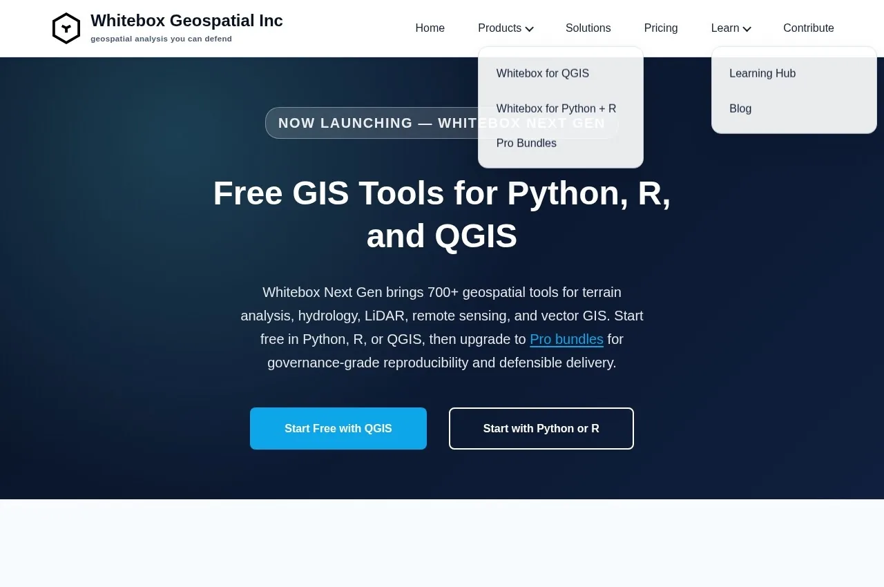
Whitebox publishes free geospatial analysis tools for Python, R and QGIS, with Whitebox for QGIS and Whitebox for Python and R, alongside Pro bundles and published solutions covering flood assessment, urban impact, landslide risk and river health.
Distributing as a library for existing tools rather than as an application is the design decision, and it fits how analytical geospatial work is actually done now.
A decade ago spatial analysis meant opening a GIS application and clicking through operations. Increasingly it means writing a script, because the work must be reproducible, must run over many datasets, and must be re-runnable when the input data updates. A one-off analysis clicked through in an interface cannot be repeated reliably or explained to a reviewer.
Delivering the tools as Python and R libraries puts them where that work happens, and it means the analysis lives in a script somebody else can read, check and run again.
The QGIS integration serves the other population, since many analysts work in the free desktop GIS and want additional tools without changing environment.
The published application areas identify the intended user precisely. Flood assessment, landslide risk and river health are hydrological and terrain analysis problems, which is the specialism this toolset is known for. Terrain analysis is computationally distinctive, involving flow accumulation, watershed delineation and stream network extraction from elevation models, and general GIS handles it shallowly.
Pricing is published with the core tools free and Pro bundles at $890 and $1,490.
Key Features of Whitebox GAT
- Free open source geospatial tools
- Python library
- R integration
- QGIS plugin
- Terrain and hydrological analysis
- Flow accumulation and watershed delineation
- Stream network extraction
- Reproducible scripted analysis
- Pro bundles for advanced tools
- Flood and landslide risk applications
Whitebox GAT Pricing
Whitebox GAT Specifications
- Deployment
- On Premise
- Desktop
- Windows
- Mac
- Linux
- Built for
- Individuals
- Freelancers
- Small Business
- Medium Business
- Large Enterprise
- Support
- Public API
- Yes
- Free trial
- Yes
- Free plan
- No
- Runs in browser
- No
- Customisable
- No
- Website
- whiteboxgeo.com
Whitebox GAT Screenshots
Whitebox GAT Comparisons


Whitebox GAT Reviews
No reviews yet
Used Whitebox GAT? Share your experience and help other buyers decide.
Whitebox GAT FAQs
Alternatives to Whitebox GAT
Other Geographic Information Software recorded on the same fields.